October 5, 2026
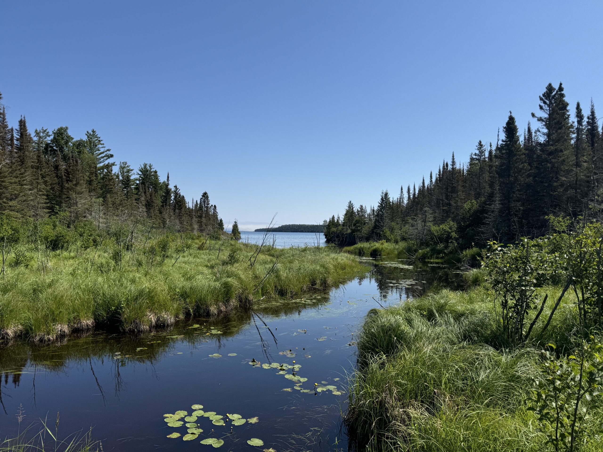
The United States and Michigan have seen a large decline in wetland ecosystems over time, and the Upper Peninsula is no exception. Using GIS data, our team at Citizens for a Safe & Clean Lake Superior mapped the extent of wetland loss in the U.P. Here's what we found.
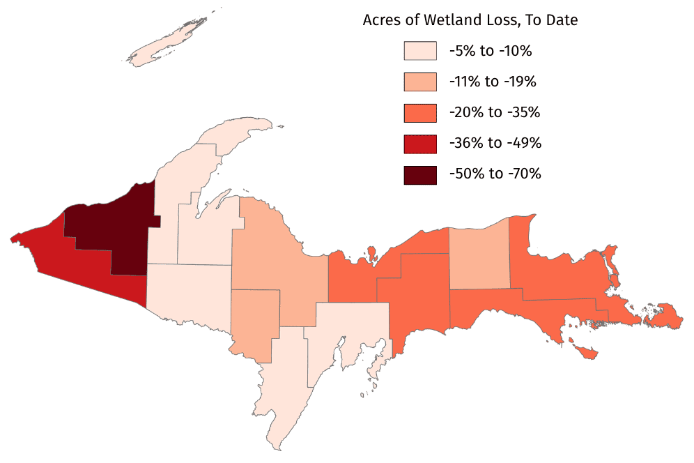
Overall, the Upper Peninsula has lost almost 900,000 acres of wetlands to date. Every county in the U.P. has seen an overall loss of wetlands, with an average 22% loss.
Here's the breakdown by county:
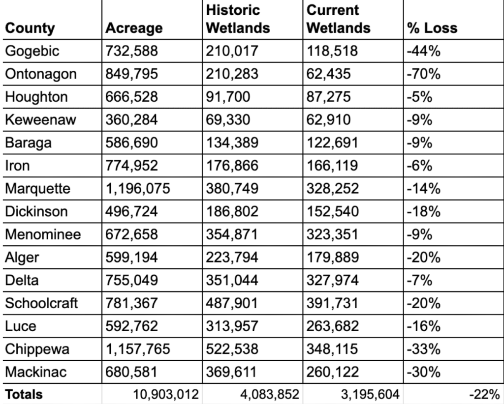
Ontonagon County has seen the largest share of wetland loss in the U.P. — 70% of the county's wetlands have disappeared. Chippewa County has the highest amount of raw acreage loss, with a staggering 174,000 acres of wetland loss — or 33% of all the county's wetlands.
Wetland protection is at the heart of Citizens for a Safe & Clean Lake Superior's work in Marquette County. We dove deeper into the status of Marquette County's wetlands.
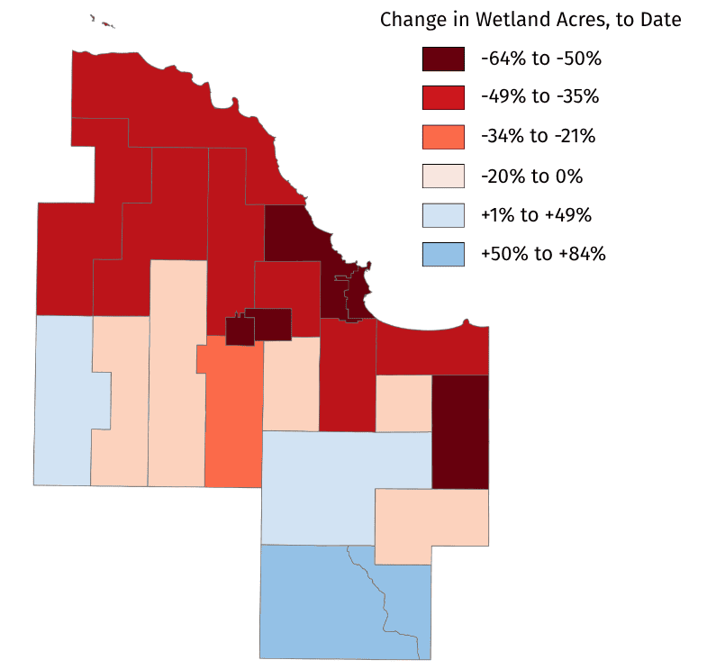
Marquette County has lost 52,000 acres of wetlands, or 14% of all wetlands in the county. Wetland loss is most significant along the coast of Lake Superior — Marquette County's coastal municipalities have lost 54% of their wetlands. Coastal wetlands are especially important for protecting Lake Superior's shoreline from erosion and filtering water before it enters the lake.
These results demonstrate how significant an issue wetland loss is across the Upper Peninsula. Having spatial data like this is one of the first steps in addressing the problem. By identifying where wetlands are most vulnerable, and where they're being preserved, we can develop more effective strategies to protect them.
Over the past few years, CSCLS has been working with local governments in Powell, Marquette, and Chocolay townships — Marquette County's coastal communities without local wetland protections. Each community's needs are different, but they share a common problem with declining wetland ecosystems. We're working with these communities to establish protections for wetlands from development, forestry practices, and other potentially harmful activities. There's still more work to be done, but we're confident that local governments will step up.
Our maps and analysis rely on data from the Wetlands Map Viewer, a program run by Michigan's Department of Environment, Great Lakes, and Energy (EGLE). EGLE tracks existing wetlands in Michigan through the National Wetland Inventory (NWI) and wetlands that have been lost since European settlement (mid-1800's) through the Hydric Soils dataset. This public data is free and available for everyone, but they are meant to be estimates.
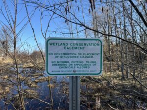 Conservation Easements are Powerful Tools for Protecting Land & Water
 Policy Brief: Marquette County Communities Need Wetland Protections
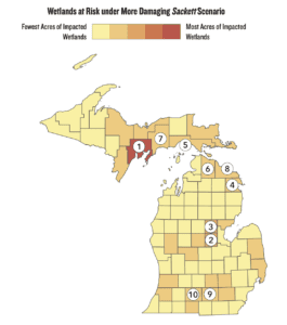 House Bill 5536: The Greatest Threat to Michigan’s Wetlands in a Generation


