October 27, 2026
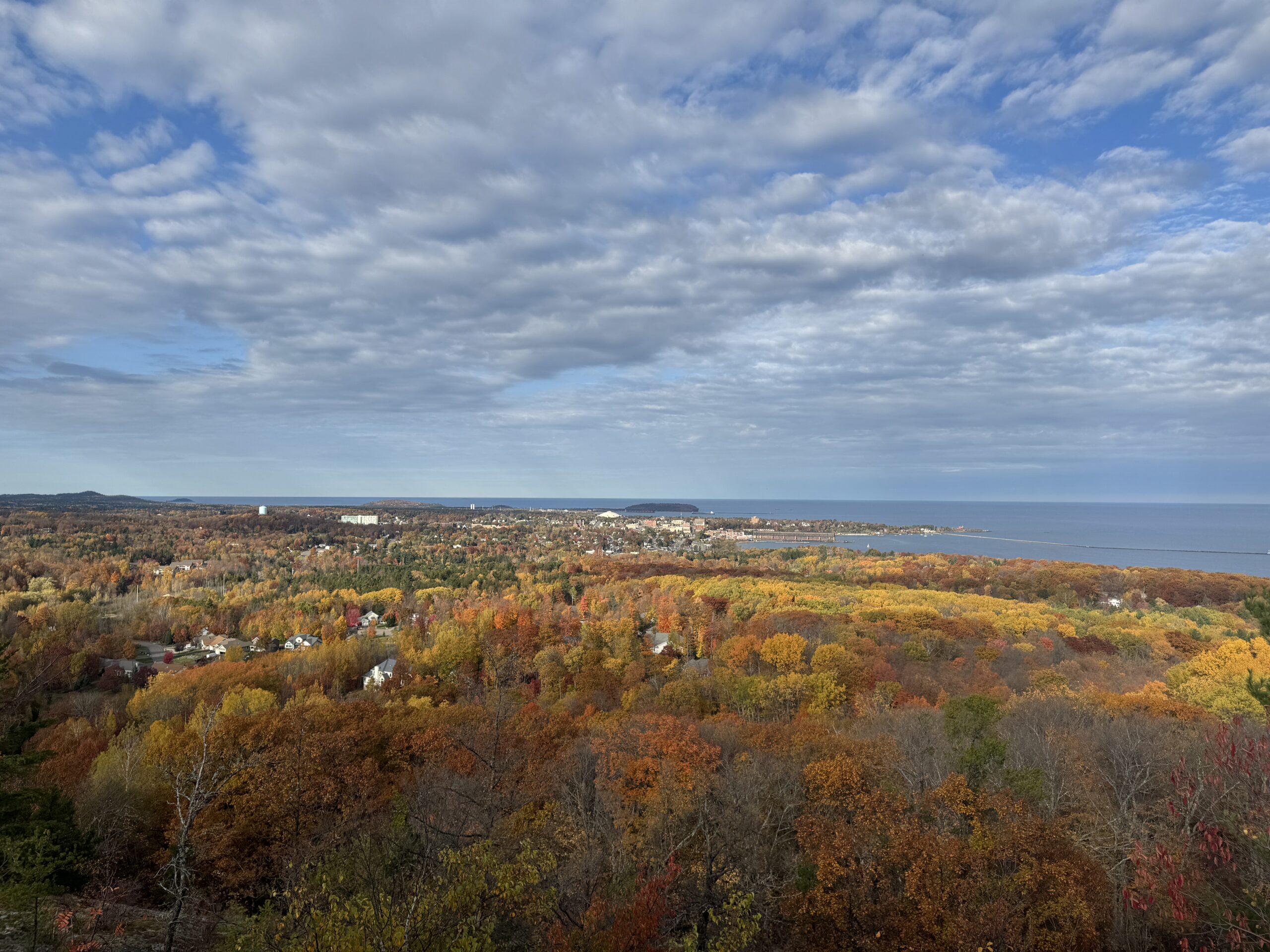
Local governments play an important role in ensuring that responsible land-use planning protects the environment in Marquette County and the Upper Peninsula, especially our rapidly-disappearing wetlands. Fortunately, Michigan law grants local governments broad authority to regulate development in order to protect public health, safety, and general welfare, and to conserve natural resources. Unfortunately, only one municipality in Marquette County has comprehensive land-use protections for wetlands: the City of Marquette.
In 2019, the City of Marquette adopted a Riparian Overlay District in their Land Development Code, as part of a major overhaul of the city's zoning regulations. The Riparian Overlay District not only preserves wetlands from development, but it is perhaps the most extensive piece of local-level environmental protection in Marquette County.
We're here to break down what the Riparian Overlay District does, its significance for environmental protection, and how local governments in Marquette County and beyond can look to the policy as a model in community planning.
The Riparian Overlay District (RO) is a "floating" zoning district within the City of Marquette that sets regulations for development and activities near Lake Superior, rivers, streams, wetlands, floodplains, and sensitive natural areas. It is a "floating" zoning district because its boundaries are not permanent, human-drawn lines like traditional zoning districts — instead, it applies to specific natural features that can change over time.
According to the City of Marquette's Land Development Code, "The intent of the Riparian Overlay District is to fulfill the objectives of the City of Marquette Community Master Plan which includes establishing minimal acceptable requirements for the design and preservation of buffers to protect the waterways, wetlands, and floodplains of the City of Marquette and to protect the water quality of Lake Superior, watercourses, reservoirs, lakes, and other significant water resources within the City of Marquette."
In order to protect the city's water resources, the RO does the following:
Many municipalities in Marquette County include similar environmental regulations for things like waterfront development, stormwater management, and erosion, but are often dispersed throughout their zoning ordinances. A property owner might have to comb through dozens of pages of regulations to understand all of the requirements a project could face. The RO makes that process simpler; condensing most riparian regulations into a few pages.
For example, Powell Township requires a 50-foot setback for new development on lakes, rivers, and streams, limits building to one structure for every 100 feet of waterfront, and regulates forestry/industrial activities near waterways. These are great protections for Powell Township's water resources, but having these environmental regulations as separate requirements throughout the Zoning Ordinance might cause confusion for property owners and developers. Powell Township could consider establishing an overlay district that includes all of the township's water-related land-use regulations in one organized section. The RO also includes diagrams and cross-sections that illustrate where regulations begin and end near waterways.
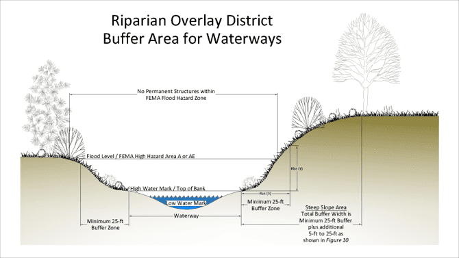
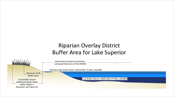
The Riparian Overlay District can be traced back to the late 1990's, when the City of Marquette, Superior Watershed Partnership, and several other partners put together the Whetstone Brook and Orianna Creek Watershed Management Plan. Whetstone Brook and Orianna Creek are two major waterways that pass through a variety of land-uses in Marquette, and pollution, warming water temperatures, stream fragmentation, and erosion were identified as significant issues they were facing. As part of the plan's recommendations to protect the health of the watersheds in such a growing community, a new overlay zoning district was considered.
While the management plan was finalized in 2002, the conversation didn't stop there. Through community open houses, meetings with local stakeholders, and updates to the city's master plan, environmental protection became a leading goal for the city. The Superior Watershed Partnership, Michigan State University Extension, and other organizations helped develop recommendations to improve climate resiliency, stormwater management, wildfire prevention, and reduce greenhouse gas emissions.
When the RO was formally adopted in 2019, it was the product of years of careful planning and community involvement. But it was just one part of a series of changes to improve environmental protection in the city's Land Development Code.
In addition to the Riparian Overlay District, the City of Marquette's Land Development Code includes several standards that protect natural resources within the community, including:
The Riparian Overlay District is certainly not the "one size fits all" goal for communities across the Upper Peninsula, but it is an example of how local input and planning can contribute to environmental protection and help achieve long-term community goals. It also provides an easy way for citizens and property owners to better understand the regulations in their community, as well as the importance of safeguards near sensitive areas. Whether Marquette County and Upper Peninsula communities are just looking to refine their land-use rules or rethink their zoning entirely to better protect the environment, the Riparian Overlay District offers a strong foundation.
 Mapping Wetland Loss in Michigan’s Upper Peninsula
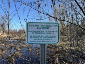 Conservation Easements are Powerful Tools for Protecting Land & Water
 Policy Brief: Marquette County Communities Need Wetland Protections



